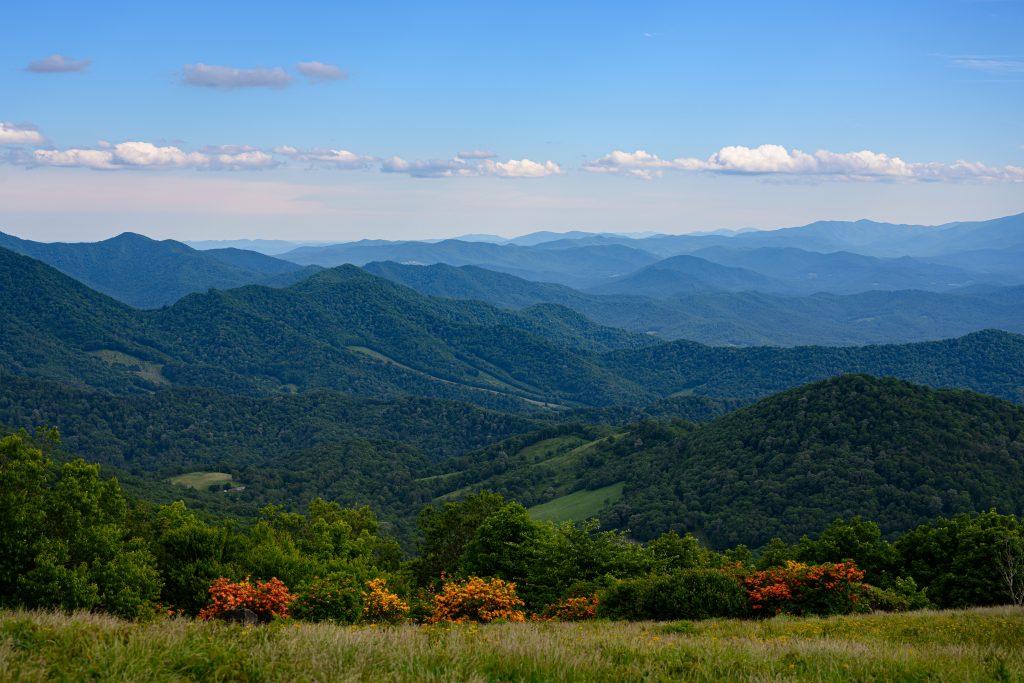
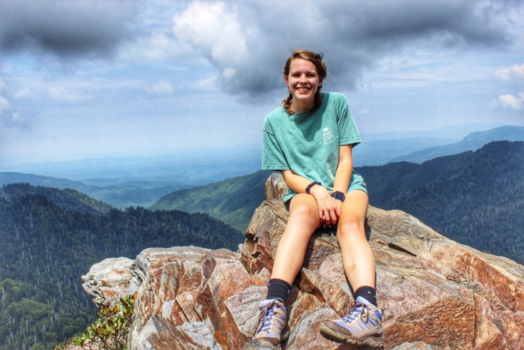
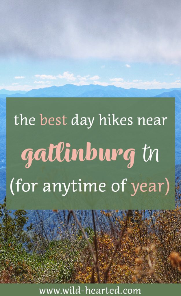
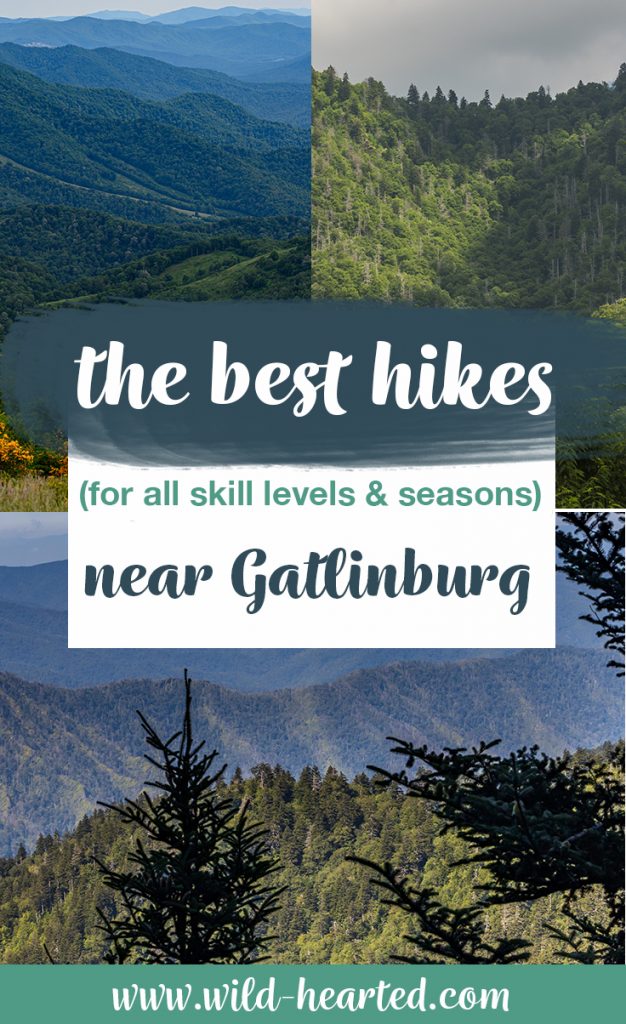
The best day hikes near Gatlinburg each offer all that the Great Smoky National Park has to offer. Whether it’s a stream, geological outcropping or a vista view, each of these days hikes are a perfect way to get away from the hustle and bustle of Gatlinburg and Pigeon Forge.
Hikes near Gatlinburg
Alum Cave
This post may contain affiliate links. Please see our disclosure.
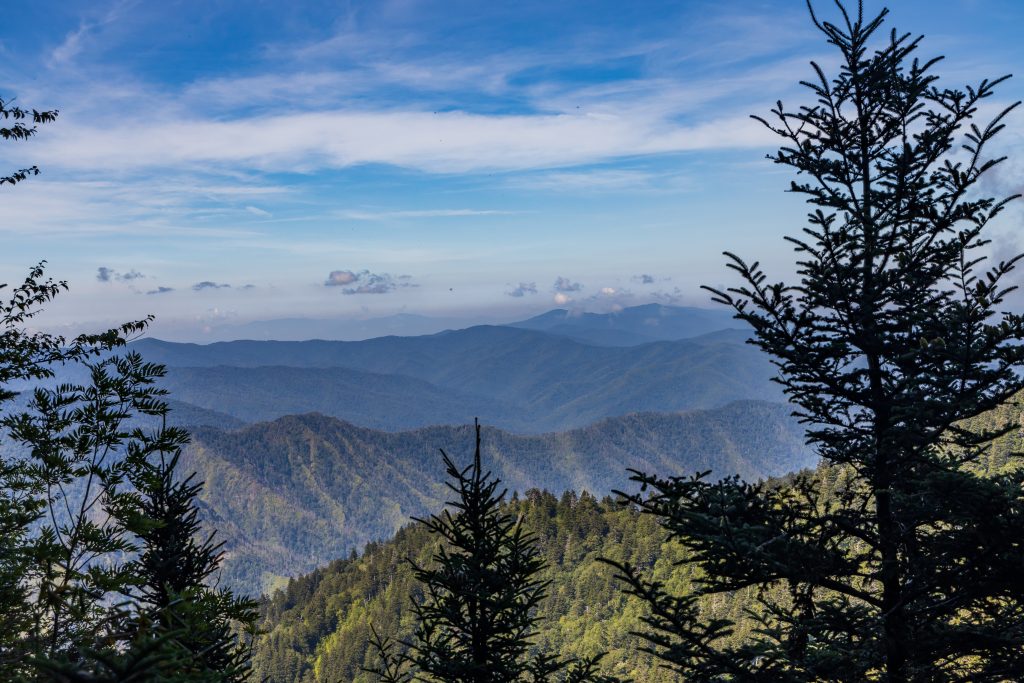
Alum Cave trail has been boasted as one of the best (if not the best) hikes in the Great Smoky Mountains National Park. Every able person is encouraged to take the 4.6 round-trip hike at least once. Grab your gear and head to the trailhead early- or you’ll be joined by over a hundred hikers.
Whether it’s the Alum Cave Creek that lines the beginning of the hike, the views you see halfway through or the bluffs at the hike’s crux, there’s something to peak any hiker’s interest.
To find the trailhead, drive 8.5 miles on Newfound Gap Road from the Sugarlands Visitor Center. A parking area can be found on the left side of the road, with roadside parking available for miles in both directions.
Chimney Tops
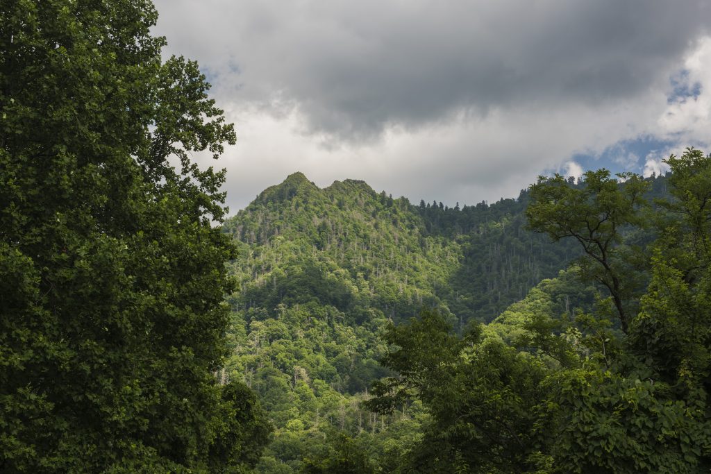
Before you reach the Alum Cave trailhead, you’ll find the Chimney Tops trailhead, which brings hikers to another geological feat of the Smokies. Just over 20 minutes from Gatlinburg, the 4-mile hike is a popular destination for hikers looking for a challenge. Parking is available, but fills up quickly.
This hike isn’t for the faint of heart, and serious consideration may need to be taken before starting. The trail is extremely steep, with some sections so steep all you can see are steps that seem to extend for forever. If you make the trek, you’ll be welcomed by something no matter the season: wildflowers, streams, scenic forest views and vistas.
The only downside to this hike is limited access to the Chimney Tops rock outcropping. The hike’s crux was the starting point of the Chimney Tops II fire that damaged the trail, and spread to Gatlinburg just after Thanksgiving in 2016. Since the fire, the trail’s final destination has changed from a personal interaction with the outcropping to a vista view.
To find the trailhead, drive 6.8 miles from the Sugarlands Visitor Center. You will first hit the Chimney Tops Picnic area (on your right), which is 2.4 miles north of the trailhead. The parking area for the trailhead will be on your right, but parking is available roadside for about a mile in each direction.
Andrews Bald
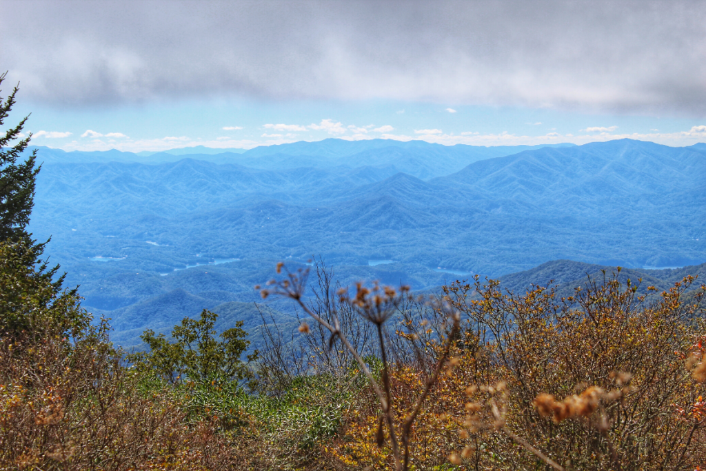
About an hour drive from Gatlinburg, the Andews Bald trailhead starts from the Clingmans Dome parking lot. The hike boasts azaleas during the summer months, and offers spectacular views during any season.
The hike is 3.6 miles roundtrip, but is pretty rocky. Wear your best hiking shoes for this one, and be prepared to stumble over the trail surface a couple times.
Clingmans Dome Road is closed Dec. 1- Mar. 31 each year and when it is in season, Clingmans Dome can be busy, so prepare to fight for a parking spot.
To find the trailhead, turn right onto Clingmans Dome Road from Newfound Gap Road and travel 7 miles to the Clingmans Dome parking area. While the Clingmans Dome trail starts straight ahead (the majority hikers will take this path), the Andrews Bald trailhead starts to the left.
Gregory Bald
While Andrews Bald is a perfect, short day hike for your Gatlinburg trip, Gregory Bald is like the bigger cousin. The hike is one of the more preferred, no matter the time of year. Located on the Cades Cove loop, pack your hiking bag and head to the trailhead early to avoid the loop and trailhead traffic.
Gregory Bald is a strenuous and steep hike that will take most of your day. The 11.4-mile roundtrip hike boasts beautiful views, tall grasses and blooming azaleas in June. The hike ranks number one on many visitors’ lists.
To find the trailhead, travel to Cades Cove. Start the one-way loop and drive for 5.4 miles to reach Forge Creek Road. Turn right, just pat the large parking area for the Cades Cove Visitor Center and Cable Mill. The gravel road will lead you to a small traffic circle where the trail starts.
Charlie’s Bunion
Charlie’s Bunion starts from one of the most popular spots in the Smokies: Newfound Gap. Another popular hike, you’ll probably be joined by quite a few fellow hikers as you make this 8.2 roundtrip hike. Regardless of what season or time of day you get to the summit of Charlies Bunion, you’re sure to leave more than pleased by the spectacular views.
The trail is relatively moderate, with only a few difficult rocky sections. There are some dangerous drop offs, so if you’re making the hike during the winter months, use extra caution.
To find the trailhead, drive to the Newfound Gap Overlook, which is 12.7 miles from Sugarlands Visitor Center. The trail starts on the Appalachian Trail, which is between a paved path to restrooms on the right and the Rockefeller Memorial on the left.
Goldmine Loop
Looking for a quiet hike off the beaten bath? Goldmine Loop is for you. At a little over 1.5 hours from Gatlinburg, the loop starts not too far from downtown Bryson City, North Carolina. Very few make the 3.1 mile loop, so it’s likely you’ll have the hike to yourself.
The hike starts with a 0.2-mile tunnel, which is long enough to get a little spooky in the middle. If you see other people on this hike, they usually turn around after taking a photo in the tunnel on the road that leads to nowhere.
To find the trailhead, take US 441 to Cherokee. From Cherokee, follow US-19 to Everett Street in Bryson City. Outside of Bryson City, the road becomes Fontana Road, and then becomes Lakeview Drive when you’re back in the park. It can be confusing, but if you stay straight until you hit the end of the road and find a parking area on the right, you’ll be in the right place!
Shuckstack
The Shuckstack trail will take you to one of the few remaining fire towers in the Great Smoky Mountains National Park. The hike is difficult due its steep grades and is in a pretty remote part of the park, but that doesn’t mean it won’t be busy. You can expect to see quite a few hikers on the 7-mile (round trip) trail to the tower.
There is limited parking at the trailhead, but it usually isn’t a problem. You can find all you need back at the Fontana Dam Visitor Center or at Fontana Village. There are some good views along the way to the tower, and once you reach a couple hundred yards below the tower, you’ll find six flights of stairs. Climb those stairs, and you’re at one of the best views in the park.
To find the trailhead, you’ll need to travel about 2 hours from Gatlinburg. There’s a few routes to get there, but for the most immersive experience, follow US 441, US 19 and US 74 to NC 28 in Nantahala. Drive to the stop sign at the entrance road for Fontana Dam. Turn right and follow the road to the dam before driving over the dam and turning right at the fork. Continue to the trailhead at the end of the road.
Mt. Leconte

Undoubtedly a highlight of every Smokies bucket list is Mt. Leconte. Mt. Leconte’s summit is 6,593 feet above sea level, making it the third highest peak in the park behind Clingmans Dome (6,643 feet) and Mount Guyot (6,621 feet). What makes Mt. Leconte even more unique is the various trails you can take to get to its peak.
There are five hikes that take you to the lodge at Mt. Leconte’s highest point. To stay at the lodge, you’ll need a reservation, which usually needs to be made over a year in advance. Attempting this hike in a day is sure to put you into bootcamp mode, but it is possible and worth the hike if you only have a day to spend in the park!
Continuing past the bluffs on the Alum Cave trail will get you to the summit fastest, at about 11 miles roundtrip, which should take about 8 hours. Some other trails to consider include: The Boulevard (15.6 miles roundtrip), Trillium Gap (13.9 miles roundtrip), Rainbow Falls (13.8 miles roundtrip) or Bullhead (14.4 miles roundtrip).
Looking to plan your perfect Gatlinburg Getaway?
Check out my guide to plan your trip and the best times to visit the Great Smoky Mountains National Park.
RESOURCES
Planning a trip for the future? Here are my resources.Interested in starting a blog? Use these resources.
Read my other Gatlinburg posts.
↓↓↓ PIN FOR LATER ↓↓↓
- The Best Shark Gifts for the Shark Enthusiasts - March 7, 2025
- 16 Sustainable Swimwear Brands to Check Out This Summer - March 6, 2025
- 6 of the Best Waterfalls near Gatlinburg to Explore Any Time of Year - March 3, 2025